Gunn Point Beach 4WD Track: (Murrumujuk Beach)
Gunn Point Beach 4WD Track: (Murrumujuk Beach)
My favourite day ‘get away’ from Darwin in the wet season.
Located just east of Darwin is Gunn Point. The western side of Gunn Point Peninsula is denoted as Murrumujuk and derives its name from a sacred aboriginal site on the beach. Murrumujuk is the long sandy beach between Gunn Point and Tree Point, although I have never heard anyone referring to it as Murrumujuk Beach. It is normally referred to as Gunn Point beach. This beach represents one of the three beaches that can be frequented in the area around Darwin.
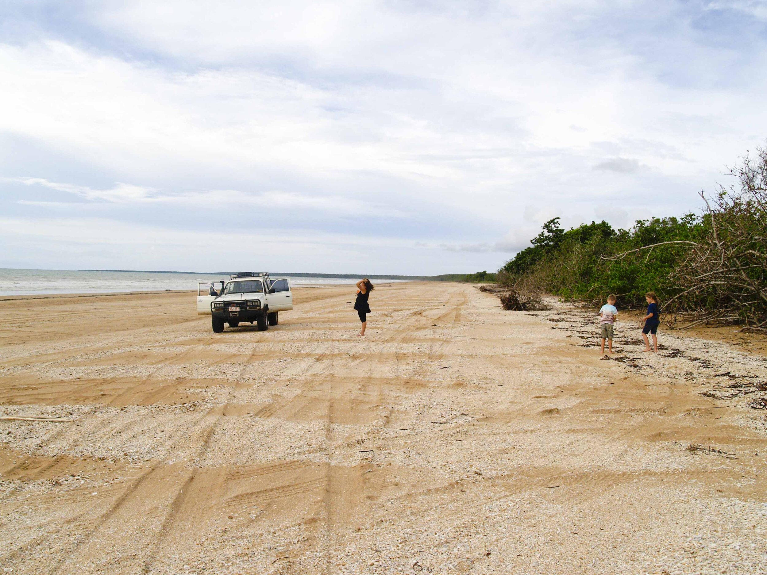
This is a popular bush-camping site during the dry season, with no freshwater or toilet facilities. The beach sees a fair amount of traffic during the Dry and you can expect quad bikes, motorbikes, and even the odd idiot hooning up and down the beach. Litter can be a problem, and the lack of toilet facilities means that venturing into the bush lining the beach can be daunting. Notwithstanding the above, it is still a great spot to camp out for a weekend away from Darwin.

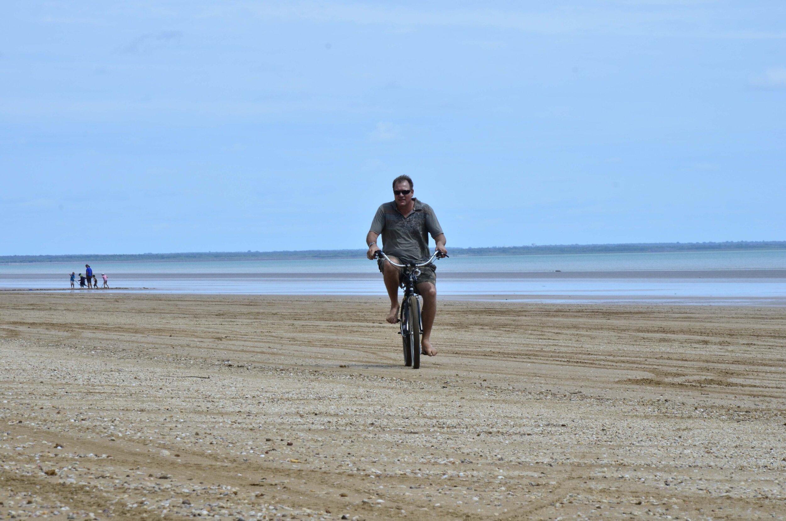


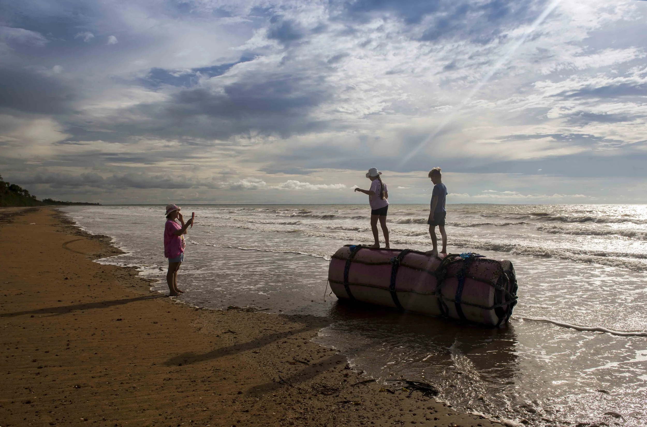
My favourite time of the year to visit this beach remains the wet season. The humidity, mosquitoes, and midges make it unsuitable for camping, so it remains deserted for most of the Wet. It is an easy day trip from Darwin and we will often spend the day exploring the beach and adjacent bushland.
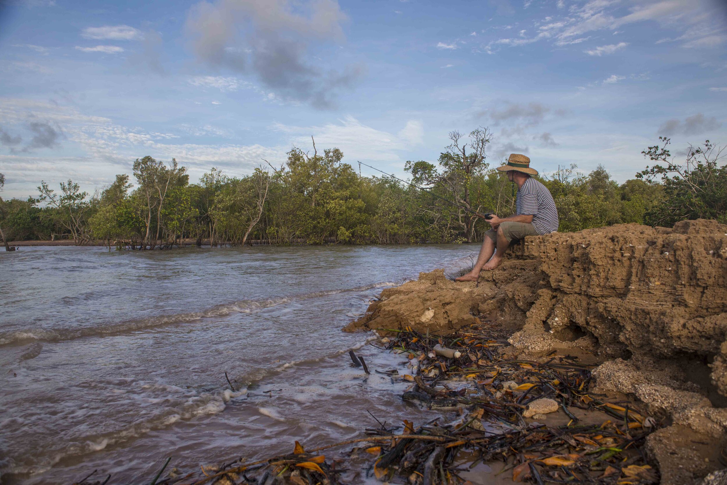
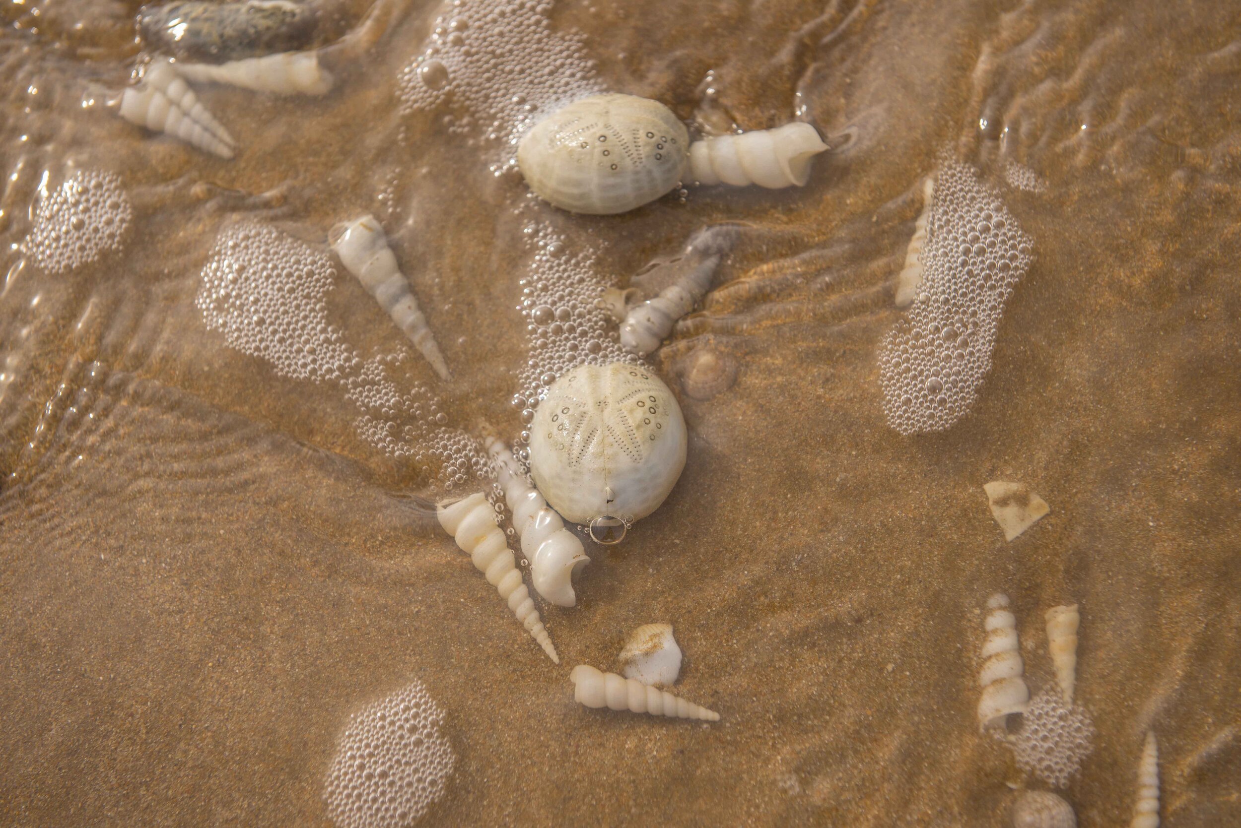
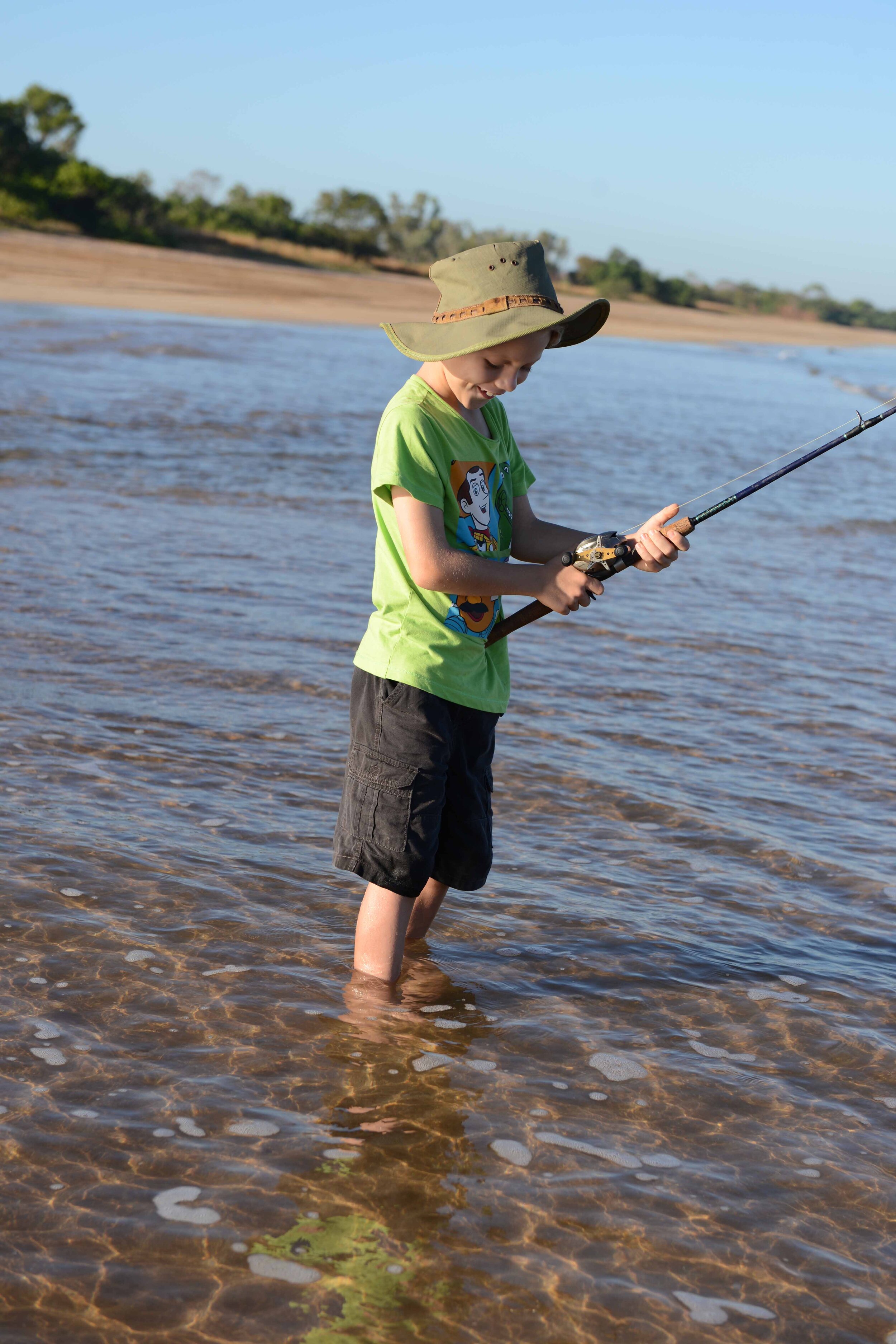
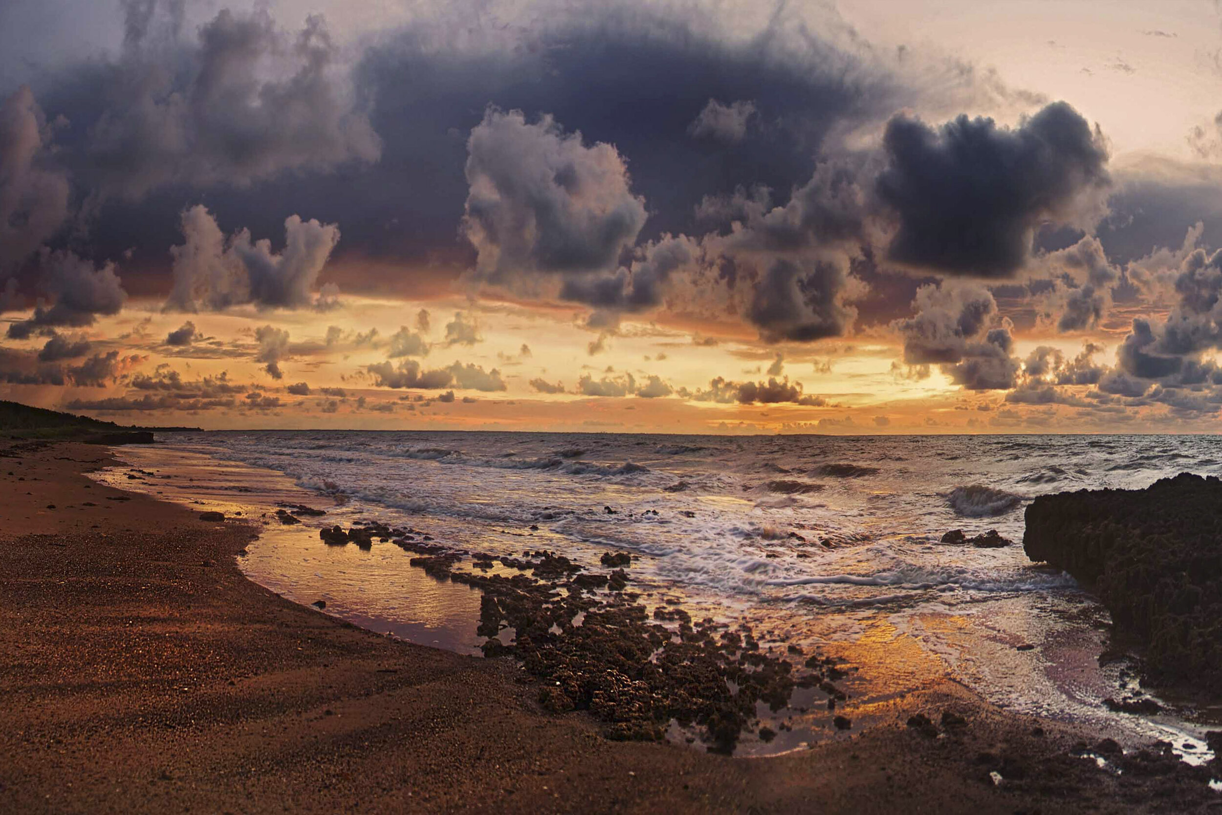
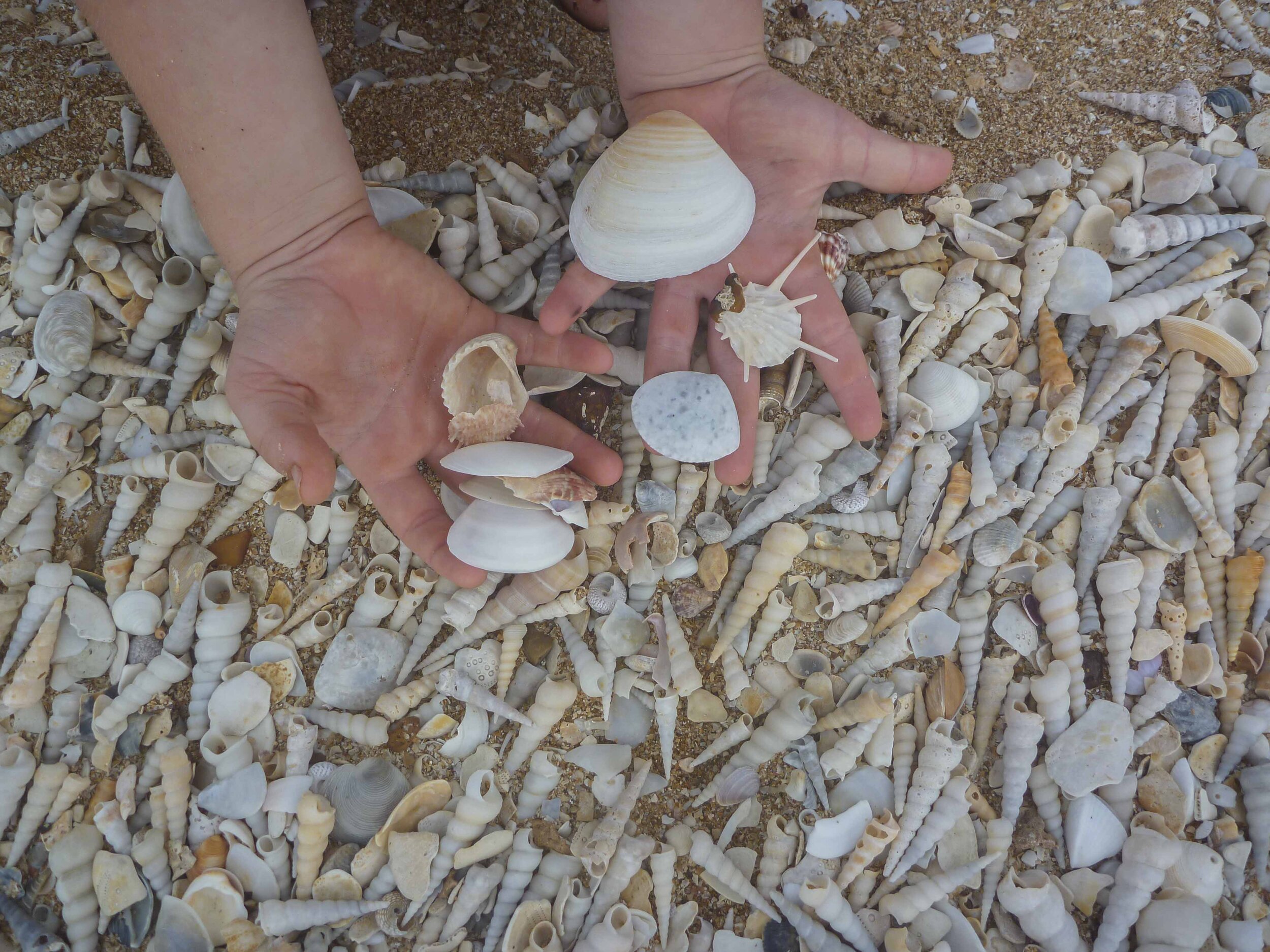
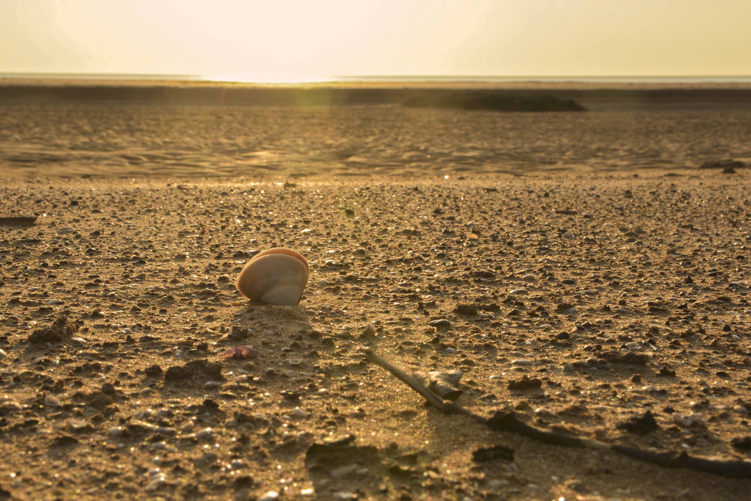
Sunsets can be spectacular, especially if there is some cloud cover around, and opportunities arise for stunning photos. The beach and the small creek towards the northern end of the beach are popular places for fishing. We have never caught anything substantial but have spent many hours catching small whiting about the size of large pilchards. With the arrival of the wet season storms, huge numbers of shells are washed onto the beach. Of particular interest are the heart urchin shells and the sand dollars that are washed up in huge numbers. This beach is also renowned for the occasional fossil that can be found. The unstable cliffs behind the beach are slowly eroding and depositing their fossilised content on the beach. Look out for fossil ammonites and mangrove lobsters between the shells.


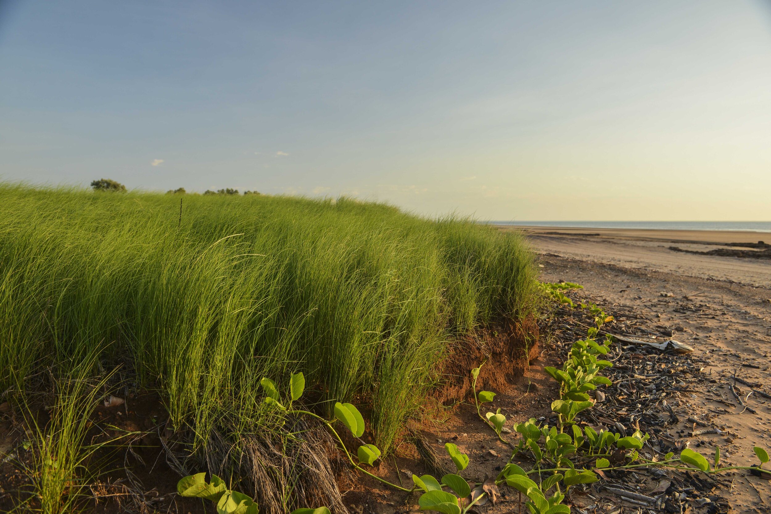
This section of sandy beach is about 13km long and stretches between Gunn Point in the north and Tree Point Conservation in the south. Driving and camping are only allowed on the northern section of the beach, about 5km of accessible beach. The southern section heading towards Tree Point Conservation area and the Durduga Community is off-limits to beach driving and camping. A signpost above the highwater mark and a string of yellow bollards indicate the point beyond which no cars and camping are permitted, although walking along the beach to The Rock at the southern tip of Tree Point is allowed. The section above the high-water mark in this area is Aboriginal freehold tenure, and notice to keep out of this area is well signposted.
Getting There
From Darwin City, it’s about an hour’s drive to Gunn Point Beach (Murrumujuk). From the Stuart highway take the Howard Springs Road (about 50km to the beach from this point) it will become Gunn Point Rd that was upgraded to a sealed road in 2018. This sealed road now ensures access to Gunn Point Beach throughout the year (including the wet season) but it has also made it more accessible resulting in more traffic on the beach.
Remain on Gunn Point road, pass the Leaders Creek turn off on your right, and continue till you find the signposted road on your left to Murrumujuk. The road continues as a sealed road but does not quite get to the beach before it breaks up into dirt tracks that lead to the beach. Heading in a northerly direction along this track (for just over 1.5km) provides the easiest access to the beach.
Overview of the Track (the Beach)
The northern access road has developed some rather deep pools (wet season) over the years and I have seen people getting bogged in these. In most cases, however, if you can stick to the sides of these water holes you should get through.


On arriving at this section of the beach you should be at, or very close to, a small tidal creek. This tidal creek is impassable at high tide and cuts off about 1.5km of beach access. Underestimate this creek at your peril. A testament to its danger may be found in the local NT news as follows.


Tidal movement in this area can be 7m or more, exposing large flat areas of ‘beach’.
Do NOT be tempted to drive on these flats as they often have just a thin layer of sand over soft blue clay. Once bogged it becomes a race against that 7m tide to extract your vehicle.
Access points to and from the beach abound along this section of the beach. For the 4x4 enthusiast, these may provide more of a challenge getting onto the beach.
However, when considering these tracks think of the long-term effects and how much damage you may be causing. Avoid excessive tearing up of the tracks that promote erosion during the wet season. Great fun can be had exploring these tracks and they change after each wet season.


The southern entrance/exit can be filled with water in the Wet and can be boggy, so avoid it if you are trying to avoid any adventure. It is marked as a short red line on the map.