
Point Charles Lighthouse 4WD Track
Point Charles Lighthouse
Charles Point Lighthouse
Please note, access to many of the locations mentioned in the article below is now restricted. On 21 June 2016, land on the Cox Peninsula was granted as Aboriginal land under the Aboriginal Land Rights (Northern Territory) Act 1976. This was done to settle the Kenbi land claim. As a result access is now restricted for more detail please refer to the end of this article. (2)
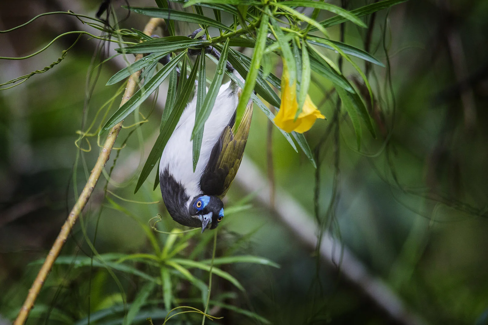
This track makes for a great day trip from Darwin and provides some great spots for a beach picnic or beach fishing. Access to Harney’s Beach Track and sections of Harny Beach still appear to be accessible. Take the time to explore Mandorah Jetty and the small settlement of Wagait Beach (supermarket and country club).
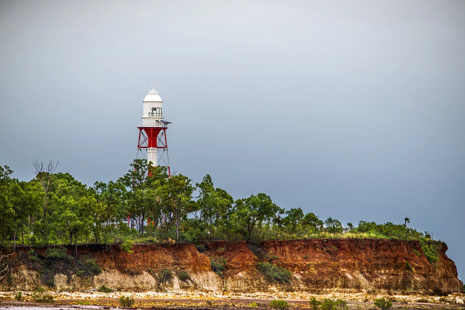
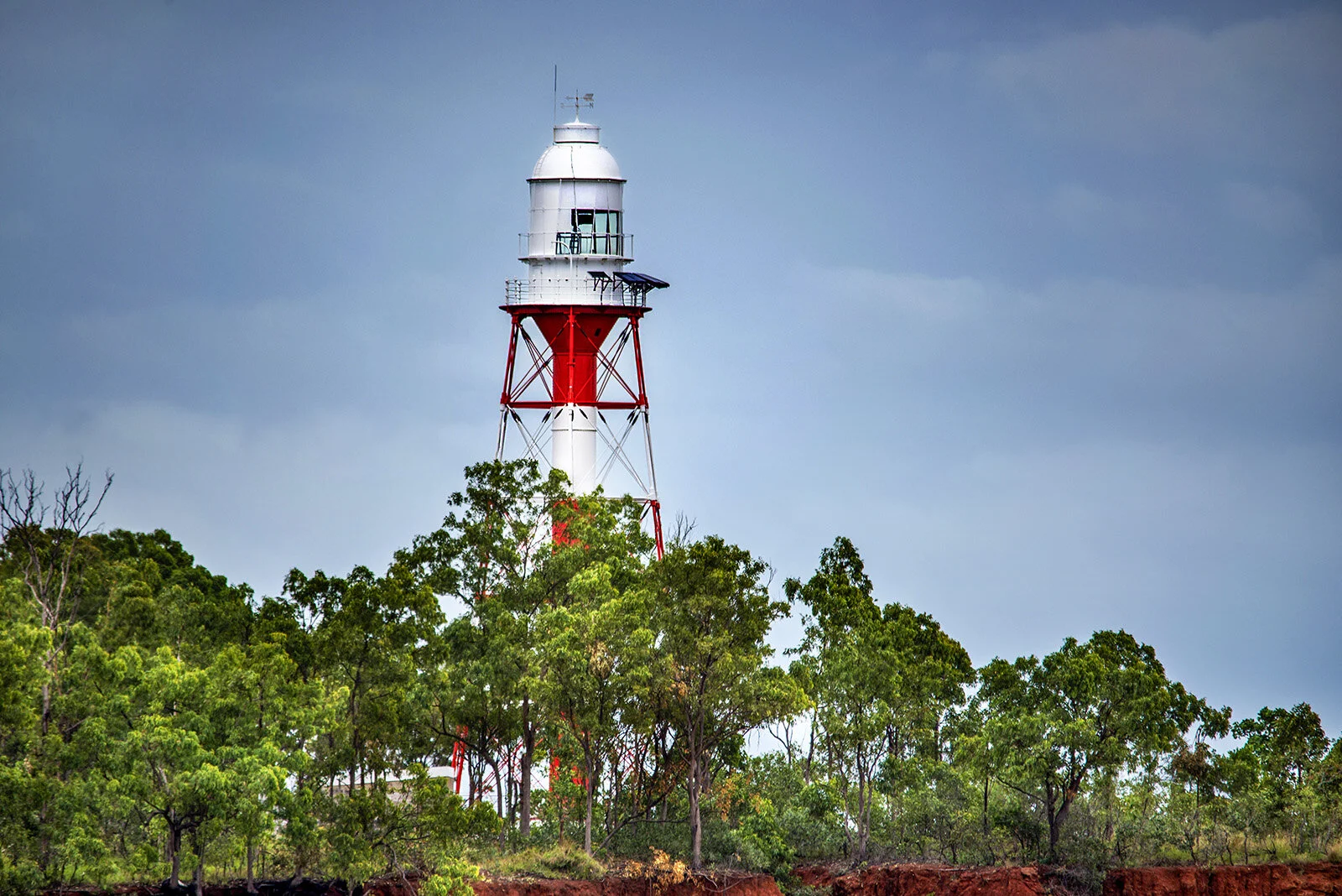
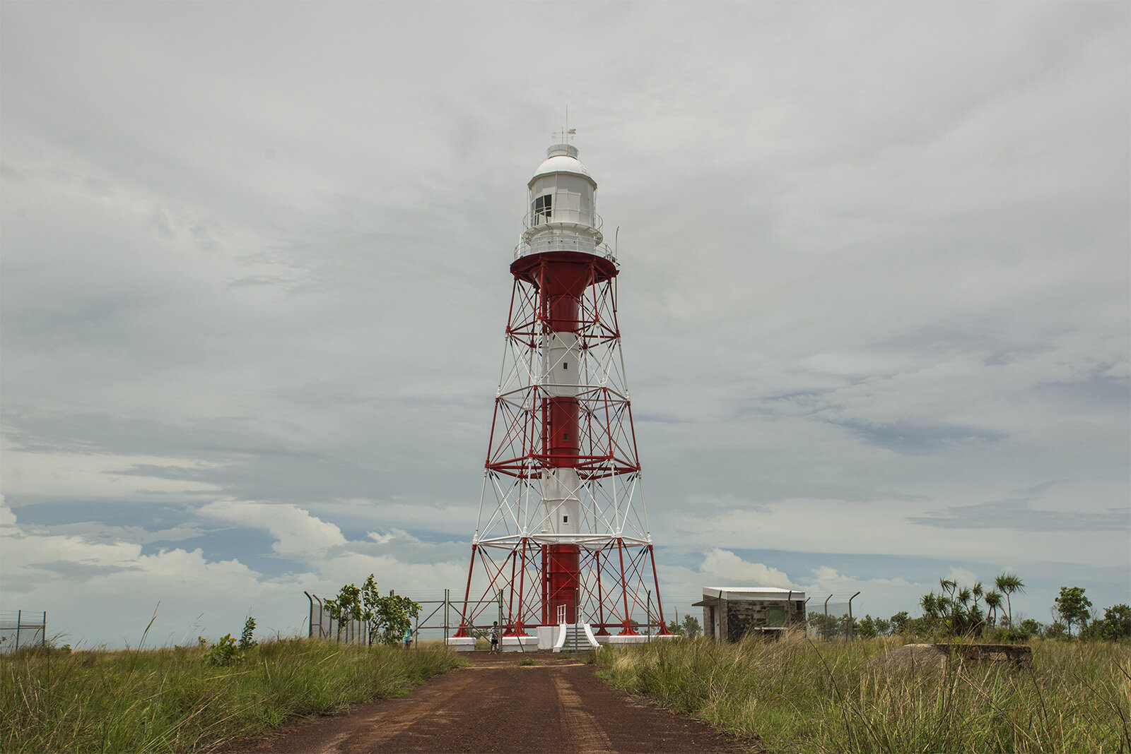
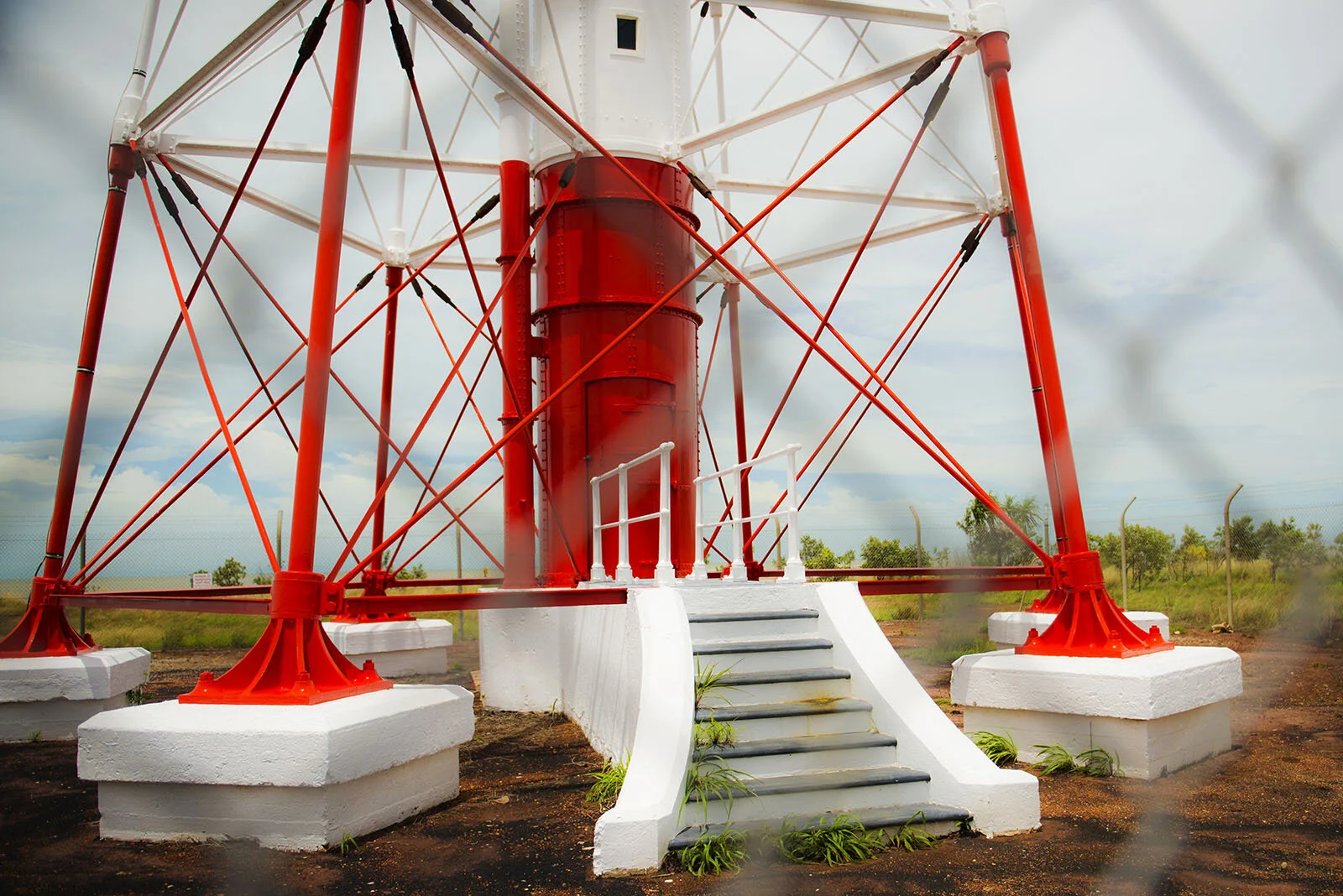
Point Charles Lighthouse was established in 1893 it is the oldest lighthouse in the NT. The structure was imported from Birmingham, England in sections and then erected. The 28m tower is constructed of wrought iron and consists of a 2m diameter central tube, with struts and braces. A spiral staircase inside leads to the lantern room on top of the gallery. Several iron lighthouse keepers’ cottages were constructed, with wooden floors and verandahs.
In 1932 the lighthouse was automated and de-manned in 1933 where it continued to function until 1971. In 1965 the Radio Australia transmission masts were erected and their powerful lamps were visible to a greater distance than the traditional lighthouse making it obsolete. In 1974 Cyclone Tracy caused extensive damage to the radio masts and the lighthouse was re-commissioned. It is still functional today. (1)


Getting There
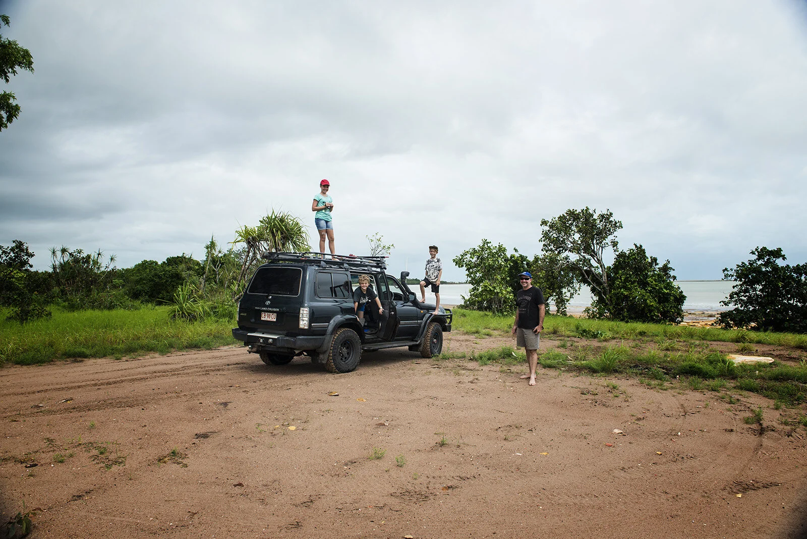
How to gain access to the track? Travel along Cox Peninsula Rd towards Mandorah / Waigate beach about 130 km from Darwin. At the second T-junction on Cox Peninsula Rd turn left into Charles Point Rd. Signage at the T- junction directs you towards the world war two B-24 Liberator wreck site, at this point the road becomes a single-lane bitumen road. Travel for just over 7 km on this road until you find power line pole number 53 and the dirt track (Harney’s Beach Track) will be apparent on your right.
Note if you continue in a westerly direction along Charles point road you will get to the Former Radio Australia Complex. Access to this complex is restricted and the road to Charles Point Lighthouse from this access point is also closed. Both these areas are subject to remediation work to remove potential toxins from the area (Asbestos, pesticides, heavy metals, and polychlorinated biphenyls (PCBs) have been detected above safe levels). The greater area around the Former Radio Australia complex has been designated area 34 and the area around Charles Point Lighthouse area 41. Cox Peninsula Remediation Project update May 2016 indicates that area 41 (Charles Point Lighthouse area) remediation work has been completed and to be handed over to its traditional owners Kenbi Land Trust.


Cox Peninsula LighthouseTrack
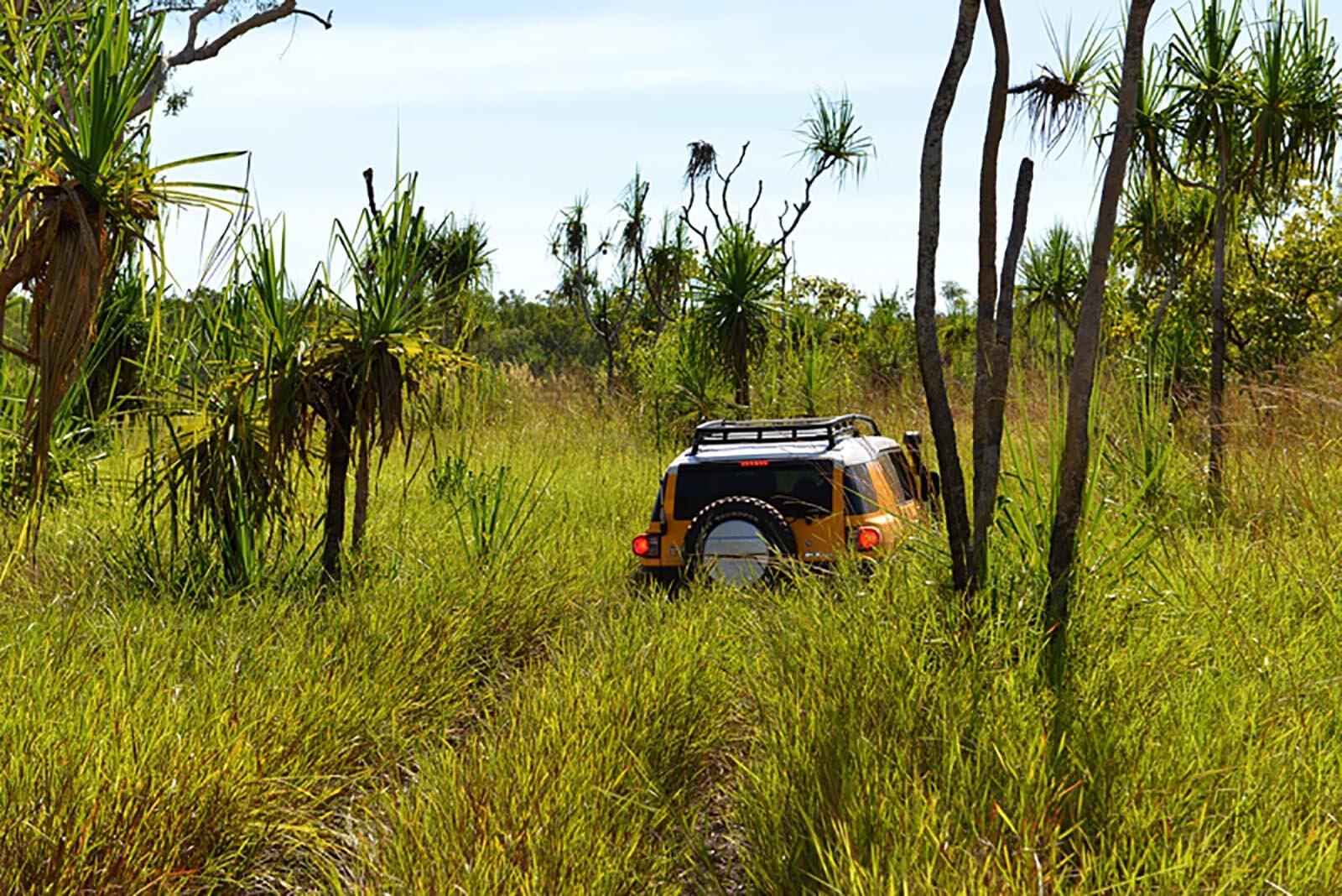
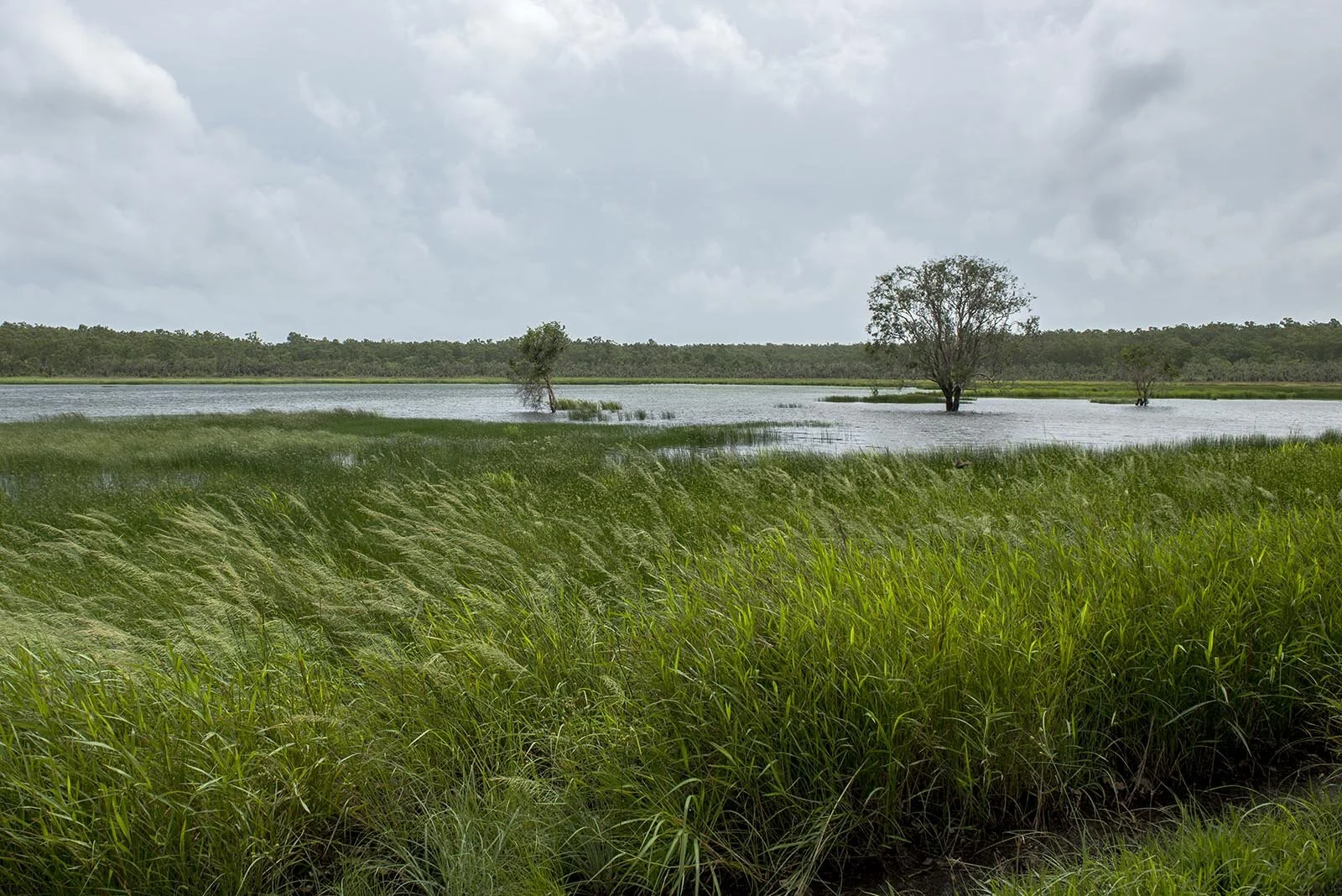
Once you turn off the bitumen road the track is around 10 km to Charles Point lighthouse. This track is accessible in both the dry and the wet seasons. The video above was made in the wet season just after several days of monsoonal rains. It is essential when crossing tidal rivers that you cross at the appropriate time and give yourself enough time to get back over the river on the home-bound journey. (Access to One Fella and Two Fella Creek is now restricted)
The first 3 km of dirt track (Harney’s Beach Track) takes you through a tall open forest area as you gradually descend to the beach. The track is firm with a solid sandy to rocky base however in the wet season small sections can have deep flooded holes. As you approach the beach to the right (east) a few beach houses nestle between the dunes. At this point deflate your tires for the beach ride. Turn left (westerly direction) onto the beach. (no longer possible restricted). However, if you turn left (easterly direction)a section of Harney beach is still accessible.
“You should always be aware of the risk of a saltwater crocodile attack in all Top End waterways.”
The rest of the track described below is restricted
Try and time your trip so that you get to the beach on an outgoing tide this gives you the most time to enjoy the beach. Always try and drive below the high water mark as this results in the least ecological impact. Beware however don’t venture too low as the beach does give way to clay flats and you don’t want to get bogged in this. From the entry onto the beach it is just over 3 km to the mouth of a small tidal river, One Fella Creek. NOTE this section of the beach does have a road on and behind the dunes that can be used if the tide is very high. However using this road would result in a greater ecological impact on the area, try and only use this if you absolutely have to.
I find the best place to cross this river is about 200m from the beach in towards the sea. This river is tidal and should only be crossed at low tide with enough time to get back once you have explored the next section of coastline. Crossing in the above-mentioned area provides a firm rocky base for the river crossing and at the correct tide should only be 20 to 30 cm deep. Once over the river, the section back to the beach can have some rocky sections.
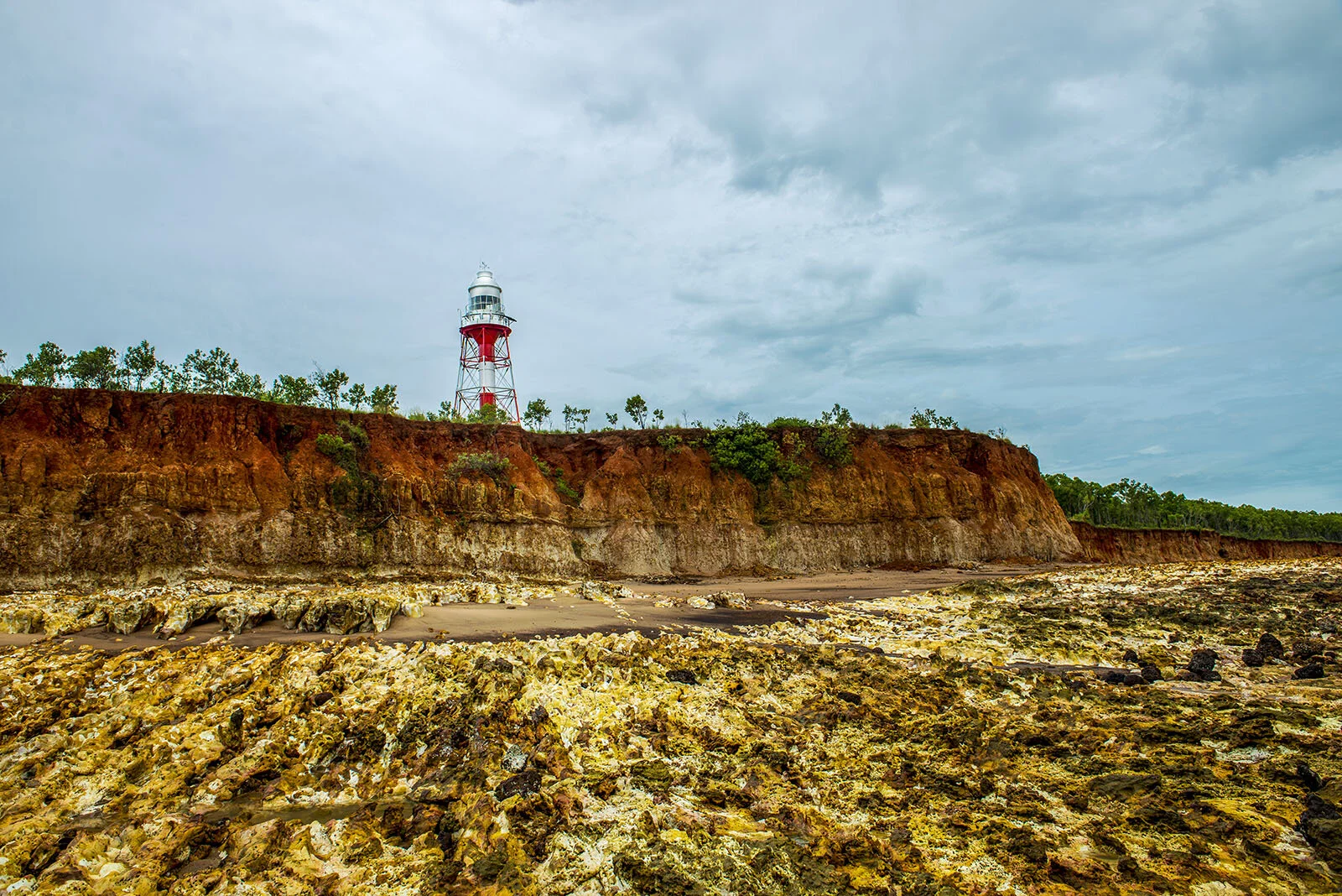
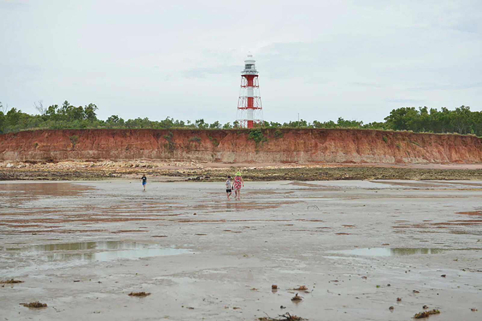
From the river mouth to the turn-off, from the beach to the lighthouse is about 2.7km. This section of the beach can at times have large open exposed rocky areas to negotiate or it can be all beach sand. This is just part of the shifting nature of the beach. The turn-off from the beach to the lighthouse can easily be missed. It is well before the lighthouse and a two-wheel track can be found making a ½ meter high jump from the beach to the track that leads up to the lighthouse. Follow this track as it makes its way slightly inland and up a forested hill to the lighthouse. Take care around the cliff face north of the lighthouse as no barriers are in place.
I would also advise that on the trip to or back from the lighthouse to explore the section of the beach below the lighthouse. This would entail continuing in a westerly direction along the beach instead of taking the dirt track inland to the lighthouse. This section of the beach runs parallel to the cliffs that get progressively higher as the lighthouse approaches. Near the point, rocky outcrops of red/orange and white stone block any further progress along the beach. A walk along this rocky section provides great sea views of the lighthouse.


Northern Land Council
Access to Aboriginal land on the Cox Peninsula and Bynoe Harbour
On 21 June 2016, approximately 52,000 hectares of land on the Cox Peninsula, including several islands and reefs in Bynoe Harbour, were granted as Aboriginal land under the Aboriginal Land Rights (Northern Territory) Act 1976. This was done to settle the long-running Kenbi land claim.
The 2016 map has now been refined following extensive consultations by AAPA and NLC with Traditional Owners and custodians. This final Declaration will give certainty to the public as to where they will be able to travel and fish at Cox Peninsula. (2)
All other roads and tracks on Aboriginal land require a permit.(2)


References
1) Wikipedia contributors. (2020, November 24). Point Charles Light. In Wikipedia, The Free Encyclopedia. Retrieved 06:18, February 23, 2021, from https://en.wikipedia.org/w/index.php?title=Point_Charles_Light&oldid=990428403
2)Northern Land Council, Access to Aboriginal land on the Cox Peninsula and Bynoe Harbour. Retrieved 06:18, February 23, 2021, from
https://www.nlc.org.au/apply-for-permit/kenbi